Verified
Supplier
Associate Member
5.0 / 5 8 reviews
View reviews →4.3 / 5 16 reviews
View our reviews →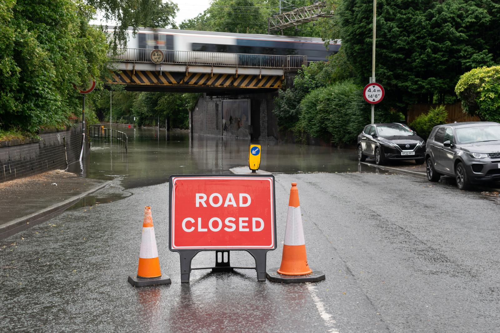
Flooding is a growing risk for homes and businesses across the UK, and councils look closely at flood risk before granting planning permission. Enviropass prepares Flood Risk Assessments (FRAs) for planning applications, from house extensions and basements to new homes and commercial schemes. Our reports follow the National Planning Policy Framework (NPPF) and Environment Agency guidance, and are written to meet your council's validation requirements.
Flood Risk Assessment from £850+VAT
An FRA shows how flooding could affect your site, and how your development will stay safe without increasing flood risk elsewhere. If your project needs one and it is missing or inadequate, the council can refuse your application.
Contact Enviropass today for a free quote on 0203 488 0225
Flooding can have devastating consequences, including property damage, environmental harm, and endangerment to life. To mitigate these risks, the UK government mandates FRAs in specific circumstances, as outlined in the National Planning Policy Framework (NPPF) and the Planning Practice Guidance (PPG). These assessments play a pivotal role in ensuring that developments are resilient to flooding and do not exacerbate flood risks for surrounding areas.
Undertaking an FRA is not just about regulatory compliance. It also:

In England, you will usually need a site-specific Flood Risk Assessment if your development is:
Your council may also have its own requirements in its validation checklist. Check your site on the Flood Map for Planning, or send us the address and we will tell you what you need.
At Enviropass, we deliver FRAs that are comprehensive, clear, and actionable. Our process combines technical expertise with a deep understanding of planning regulations, ensuring that your development is both compliant and future-proof.
We begin by understanding your development plans and objectives.
We gather and analyse all relevant flood risk information.
GIS and modelling software help assess river, surface water, tidal and groundwater flooding scenarios.
We conduct site visits to understand the physical conditions and surroundings.
We evaluate flood risks and develop practical mitigation strategies.
We prepare a comprehensive report aligned with regulatory requirements.
SuDS (Sustainable Urban Drainage Systems) are systems designed to control surface water runoff close to where it falls, relying on nature-based techniques to mimic natural drainage. Examples include attenuation basins, soakaways, ponds, and swales.
For SuDS design best practices, click the button below:
Our service includes:
Every FRA must show the site will stay safe for the lifetime of the development, which is normally taken as 100 years for housing. We apply the Environment Agency's climate change allowances for peak river flows, sea level rise and peak rainfall intensity, and use these to set finished floor levels, size drainage and plan safe access. The Environment Agency's Flood Map for Planning now shows future flood extents with climate change and surface water flood risk. This means some sites that were previously treated as low risk now need an assessment
London has its own planning policies on top of the NPPF. A London FRA that only addresses national policy is likely to be sent back.
Policy SI 12 (Flood risk management) requires developments to minimise and mitigate flood risk, and to address residual risk. Policy SI 13 (Sustainable drainage) requires developments to aim for greenfield run-off rates and to manage surface water as close to where it falls as possible, following the London Plan drainage hierarchy:
Councils expect the drainage strategy to explain why each higher option was not possible before a sewer connection is used.
Many London boroughs, and the Greater London Authority for larger schemes, ask for the London Sustainable Drainage Proforma to be submitted with the application. It summarises the site, the drainage hierarchy, run-off rates and storage volumes. We complete the proforma as part of our drainage strategy.
Each London borough, and the City of London, is the Lead Local Flood Authority for its area. It manages flood risk from surface water, groundwater and ordinary watercourses, and its flood team reviews your drainage proposals. Each borough also publishes a Strategic Flood Risk Assessment and a Surface Water Management Plan, which identify local flood risk and Critical Drainage Areas. We use these local documents in every London FRA.
Large areas along the tidal Thames, particularly in east London, are in Flood Zone 3 but are protected by the Thames Barrier and by river walls and embankments. The Environment Agency's Thames Estuary 2100 Plan sets out how these defences will be maintained and raised to cope with rising sea levels this century.
Being behind a defence does not mean a site is free of risk. A London FRA must assess residual risk: what would happen if a defence was breached or overtopped. We use the Environment Agency's breach modelling and the borough's Strategic Flood Risk Assessment to find the likely flood depth at your site, then set out mitigation such as:
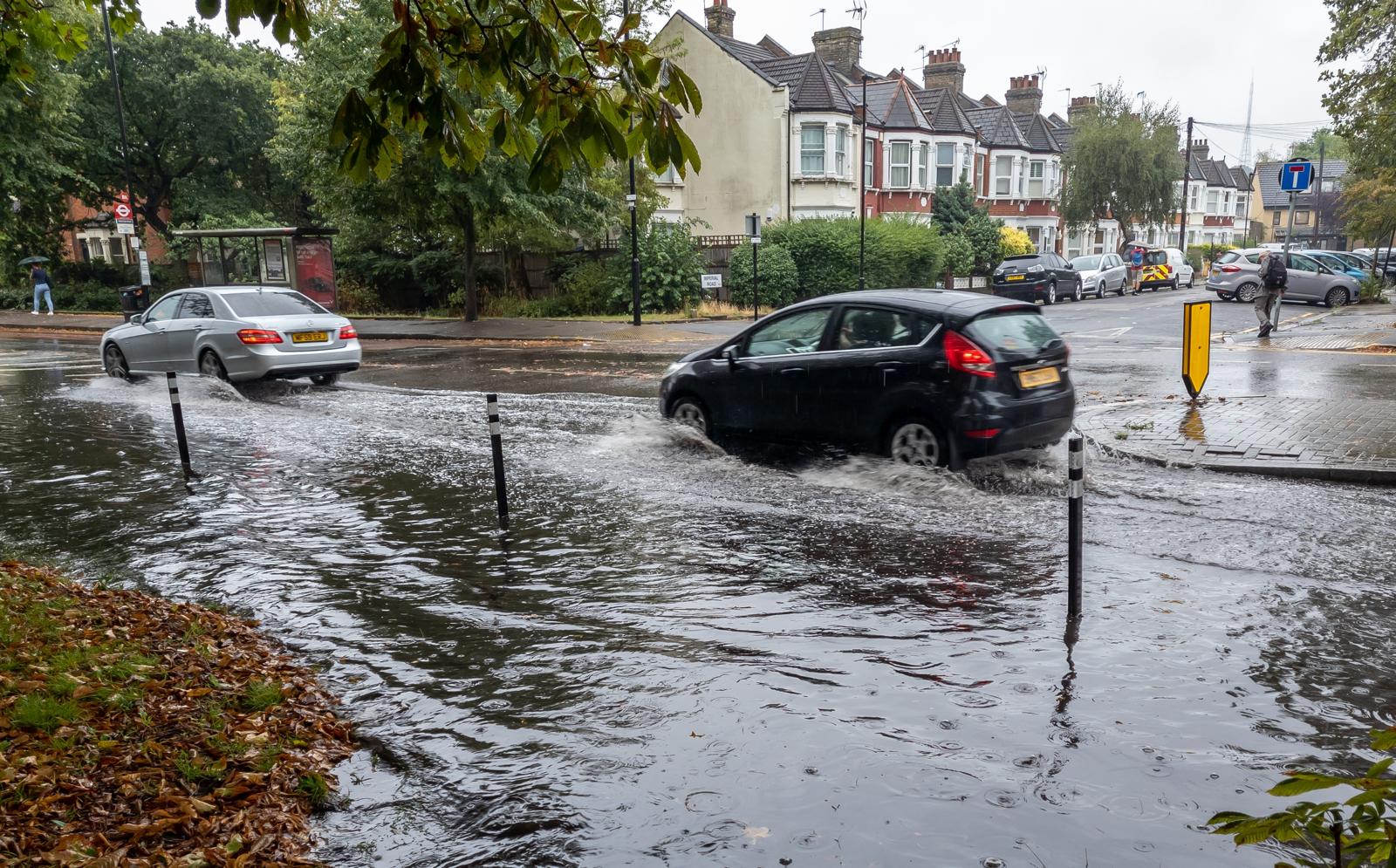
Surface water is the most common cause of flooding in London. It happens when heavy rain overwhelms drains and sewers, and it can affect sites far from any river, including sites in Flood Zone 1. In July 2021, two intense storms flooded homes, basements, roads and Underground stations across the capital.
Basements and lower ground floors are most at risk. For a new or enlarged basement, councils will usually expect the FRA to show:
Many boroughs restrict basement bedrooms or self-contained basement flats in areas at high risk of flooding. We will tell you early if this affects your scheme.
Flood risk varies a lot across London. These are the main patterns we see:
We have experience preparing Flood Risk Assessments across most London boroughs. Every borough has its own Strategic Flood Risk Assessment and drainage requirements. This table shows the main sources of flood risk we consider in each one.
Swipe sideways to see the full table.
| Borough | Main sources of flood risk |
|---|---|
| Barking and Dagenham | Tidal Thames (residual risk), River Roding, River Beam, surface water |
| Barnet | Dollis Brook, Silk Stream, Pymmes Brook, surface water |
| Bexley | Tidal Thames (residual risk), River Cray, River Shuttle, surface water |
| Brent | River Brent, Wealdstone Brook, surface water |
| Bromley | River Ravensbourne, River Cray, surface water |
| Camden | Surface water and sewer flooding, basements |
| City of London | Tidal Thames (residual risk), surface water |
| Croydon | Surface water, groundwater, River Wandle, Norbury Brook |
| Ealing | River Brent, surface water |
| Enfield | River Lea, Salmons Brook, Pymmes Brook, Turkey Brook, surface water |
| Greenwich | Tidal Thames (residual risk), River Quaggy, surface water |
| Hackney | River Lea, surface water |
| Hammersmith and Fulham | Tidal Thames (residual risk), surface water and sewer flooding, basements |
| Haringey | River Moselle, Pymmes Brook, River Lea, surface water |
| Harrow | Edgware Brook, Wealdstone Brook, Yeading Brook, surface water |
| Havering | Tidal Thames (residual risk), River Rom/Beam, River Ingrebourne, surface water |
| Hillingdon | River Colne, River Pinn, Yeading Brook, River Crane, surface water |
| Hounslow | Tidal and river Thames, River Crane, River Brent, surface water |
| Islington | Surface water and sewer flooding, basements |
| Kensington and Chelsea | Surface water and sewer flooding, basements, tidal Thames (residual risk) |
| Kingston upon Thames | River Thames, Hogsmill River, Beverley Brook, surface water |
| Lambeth | Tidal Thames (residual risk), surface water, basements |
| Lewisham | River Ravensbourne, River Quaggy, River Pool, tidal Thames at Deptford, surface water |
| Merton | River Wandle, Beverley Brook, Pyl Brook, surface water |
| Newham | Tidal Thames (residual risk), River Lea, River Roding, surface water |
| Redbridge | River Roding, surface water |
| Richmond upon Thames | Tidal and river Thames, River Crane, Beverley Brook, surface water |
| Southwark | Tidal Thames (residual risk), surface water, basements |
| Sutton | River Wandle, Pyl Brook, surface water, groundwater |
| Tower Hamlets | Tidal Thames (residual risk), River Lea, surface water |
| Waltham Forest | River Lea, River Ching, Dagenham Brook, surface water |
| Wandsworth | Tidal Thames (residual risk), River Wandle, Beverley Brook, surface water |
| Westminster | Tidal Thames (residual risk), surface water and sewer flooding, basements |
Can't see your area, or not sure what applies to your site? Call us on 0203 488 0225 or send us the address.
Prompt service from the team at Enviropass to get our report done and support our planning application. Will definitely use again.
Excellent support with our Flood Risk Assessment. The report was clear, detailed, and addressed the planning requirements. Communication was smooth throughout, and the whole process was handled professionally. Highly recommended.
Great service from Enviropass UK; very professional, quick, and easy to work with. Communication was clear throughout, and everything was handled smoothly. Highly recommend.
Partnering with Enviropass offers numerous benefits, including:
Fixed-fee quotes: Flood Risk Assessments from £850 + VAT, with the price agreed before we start.
Fast turnaround: most reports delivered in 5–10 working days.
Direct access to your consultant: you deal with the person writing your report.
Planning-focused: reports written to meet NPPF, Environment Agency and council requirements.
Fully insured, with qualified engineers.
Foul Water Drainage Strategies are often required by Local Planning Authorities to confirm the presence of a lawful foul water disposal drainage system. These strategies must comply with The Building Regulations (Part H).
This can involve:
Foul drainage strategies start from only £450.
Call Enviropass on 0203 488 0225 for a free quote.

Usually, yes. If your site is in Flood Zone 2 or 3, you need an FRA even if it is protected by defences. The council will want to know what would happen if a defence was breached or overtopped. This is called residual risk, and it often decides your finished floor levels and where bedrooms can go.
Often, yes, even in Flood Zone 1. Basements are the most vulnerable part of a building to surface water and sewer flooding. Most London boroughs expect a flood risk assessment or basement impact assessment that covers surface water depth, sewer flooding protection, groundwater and safe access.
It is a standard form used across London to summarise how a development will manage rainwater. It covers the site, the London Plan drainage hierarchy, run-off rates and storage volumes. Many boroughs ask for it with planning applications. We complete it as part of our drainage strategy.
Your borough decides the planning application. Its flood team, as Lead Local Flood Authority, reviews surface water and drainage. The Environment Agency is consulted on river and tidal flood risk, mainly for sites in Flood Zones 2 and 3.
Flood risk now has its own chapter (Chapter 18). The main changes are: sustainable drainage is required on all development, designed to the National Standards for Sustainable Drainage Systems; sites at risk from surface water only can be exempt from the Sequential Test if the FRA shows the development will be safe; and the Exception Test now applies only to river and sea flooding. Applications decided after August 2026 must meet the new policy.
In the UK, you generally need an FRA if your project is in Flood Zone 2 or 3, or if it’s over 1 hectare in Flood Zone 1. At Enviropass, we provide a rapid screening service to determine exactly what the Environment Agency or Lead Local Flood Authority requires, saving you from unnecessary delays.
Our Flood Risk Assessments start from £850 + VAT. The final price depends on the flood zone, the size of the site and the type of development. For example, a house extension costs less than a multi-unit or commercial scheme. We give you a fixed-fee quote before we start, so there are no hidden costs.
Typically, we deliver a comprehensive report within 5 to 10 working days. If you're facing a tight planning deadline, our team works efficiently to ensure your submission remains on track.
Usually just a site location plan and your proposed layout. We handle the rest, including sourcing data from the Environment Agency and local authorities.
For very simple, low-risk projects, such as a small house extension, GOV.UK says you may be able to prepare the assessment yourself using the Environment Agency's standing advice. For most other projects, including new homes, conversions, basements and anything in Flood Zone 3, a specialist report is the safer choice. It must assess all sources of flooding, apply the Sequential Test where needed and meet your council's requirements. If the FRA is not good enough, the council can refuse your application.
Flood Zone 2 represents a medium probability of flooding, while Zone 3 is high probability. Both require professional assessments. We specialise in finding viable engineering solutions to make developments in these zones safe and "approvable."
It is possible, but the hurdles are high. You need a top-tier Flood Risk Assessment and a strong mitigation strategy. Enviropass has a proven track record of helping clients navigate the complexities of Zone 3 developments.
These terms come from older guidance and describe increasing levels of detail: Level 1 is a screening study, Level 2 is a scoping study and Level 3 is a detailed assessment, sometimes with flood modelling. Today, planning guidance simply asks for a site-specific FRA that is proportionate to the risk. Councils also publish Level 1 and Level 2 Strategic Flood Risk Assessments, which are area-wide studies, not reports for individual sites. When we quote, we will tell you what level of detail your site needs.
The Sequential Test aims to steer development to areas with the lowest risk of flooding. We help developers justify their site choice by providing the robust data and comparative analysis that planning officers look for.
If a project provides wider sustainability benefits but is in a high-risk area, it must pass the Exception Test. We provide the expert technical backing to prove the development will be safe and won't increase risk elsewhere.
This is flooding caused by heavy rainfall rather than overflowing rivers. It’s a major focus for UK planners. Our combined FRA and SuDS services address both river and surface water risks simultaneously.
A Critical Drainage Area (CDA) is an area with known drainage problems, usually surface water flooding after heavy rain. If your site is in a CDA, you will usually need a Flood Risk Assessment even if it is in Flood Zone 1, and the council will expect a detailed drainage strategy.
UK regulations require "climate change allowances" to be factored into flood levels. We use the latest 2024 Environment Agency projections to ensure your development remains safe for its entire lifetime.
This is the risk remaining after mitigation (like flood barriers) is in place. We help you manage this through robust emergency flood plans, which are often a condition of planning.
Often, yes. If you are changing a commercial building to residential in a flood zone, the "vulnerability classification" changes, making an FRA mandatory. We specialise in these types of conversions.
Basements are considered "highly vulnerable." You will need a very specific Flood Risk Assessment to prove safety and dry egress. We can help you determine if your basement project is viable.
Yes. Objections often arise from a lack of clarity. We provide the detailed hydraulic evidence and mitigation strategies needed to satisfy the Environment Agency and move your application forward.
Refusal often stems from insufficient data or poor mitigation plans. Enviropass can review your refusal, update your Flood Risk Assessment with better evidence, and support your appeal or re-submission.
Definitely. A "pre-app" flood risk review from Enviropass can save you from buying a site that is undevelopable. It’s an essential part of due diligence for any developer.
An FRA looks at water coming onto your site; a Drainage Strategy (SuDS) looks at water leaving your site. Most UK developments now require both, and we offer them as a streamlined package.
A Sustainable Drainage Systems (SuDS) assessment outlines how surface water will be managed to prevent flooding elsewhere. Since August 2026, national planning policy requires sustainable drainage on all development, not just major schemes, so councils are increasingly asking for one on smaller sites too.
Local authorities are tightening rules to combat urban runoff. Even small infill projects can impact local drainage. Our SuDS reports are scaled to your project size, ensuring you aren't over-engineering but still meeting every local requirement.
Yes, our SuDS assessments provide the strategy and conceptual design needed for planning approval, including calculations for rainfall runoff and storage volumes.
It’s a sequence of preferred discharge points: first infiltration (into the ground), then a watercourse, and finally a sewer. We perform the necessary checks to see which stage of the hierarchy your site can achieve.
The LLFA (usually the County or Unitary Council) reviews your SuDS strategy. We maintain professional relationships with LLFAs across the UK to ensure our reports align with their specific local preferences.
Planners often require that your new development doesn't shed water faster than an empty field would. We use industry-standard software to calculate these rates and design your SuDS accordingly.
If you plan to use infiltration, a BRE 365 soakaway test is often required. Enviropass can coordinate this data into your final report to prove your drainage strategy is grounded in physical reality.
Yes. While infiltration might not work, we design "attenuation" systems that store water and release it slowly. Don't let heavy soil stop your project; we have the technical expertise to find a workaround.
When space is at a premium, we look at green roofs, permeable paving, or underground attenuation tanks. Our SuDS assessments focus on practical, cost-effective designs that fit your site’s footprint.
These are underground structures that hold excess water during storms. We calculate the exact size you need so you don't overspend on hardware while still meeting discharge limits.

Sign up to receive our latest updates, information and insights.